The Grand Valley Backpacking Trip
For a detailed map with an elevation profile of the tentative itinerary, click here: Map. This route may also be done in reverse.
Day 1
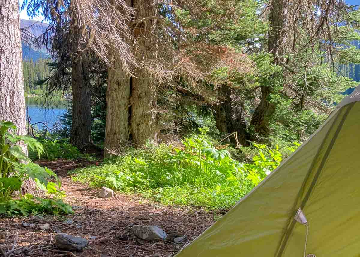
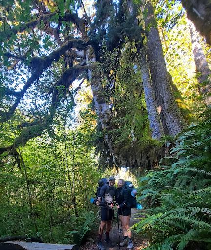
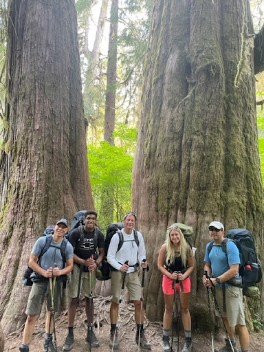
After making your way up the winding and scenic Deer Park Road, you will meet your guides at Deer Park, one of only two alpine areas that can be accessed by car in the park. After some gear shuffling, you’ll be on your way! Hiking 4.3 miles downhill into the lush Cameron Creek valley. You’ll enjoy the solitude and maybe even a dip in the creek at Three Forks for the evening, dozing off to the sounds of frogs and late evening birdsong.
Today’s Mileage/Elevation: 4.3 mi / +17′, -3277′
Day 2
Today’s trail takes us slowly up river as it meanders beneath the ridge to the north. It is a slow climb over 4.6 miles and will bring us to the Lower Cameron Creek camping area.
Today’s Mileage/Elevation: 4.6 mi / +1769′, -301′
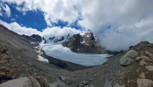
Day 3
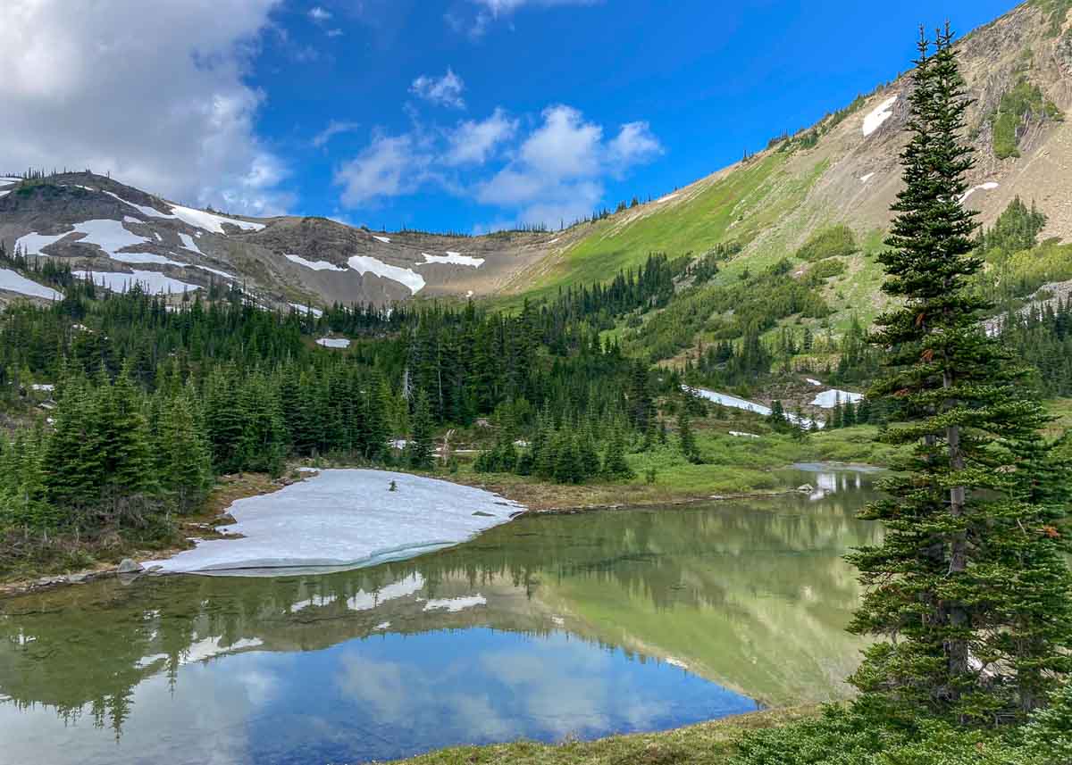
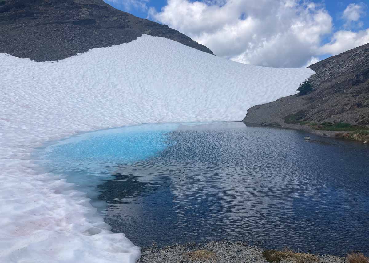
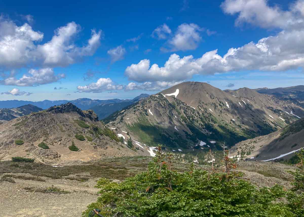
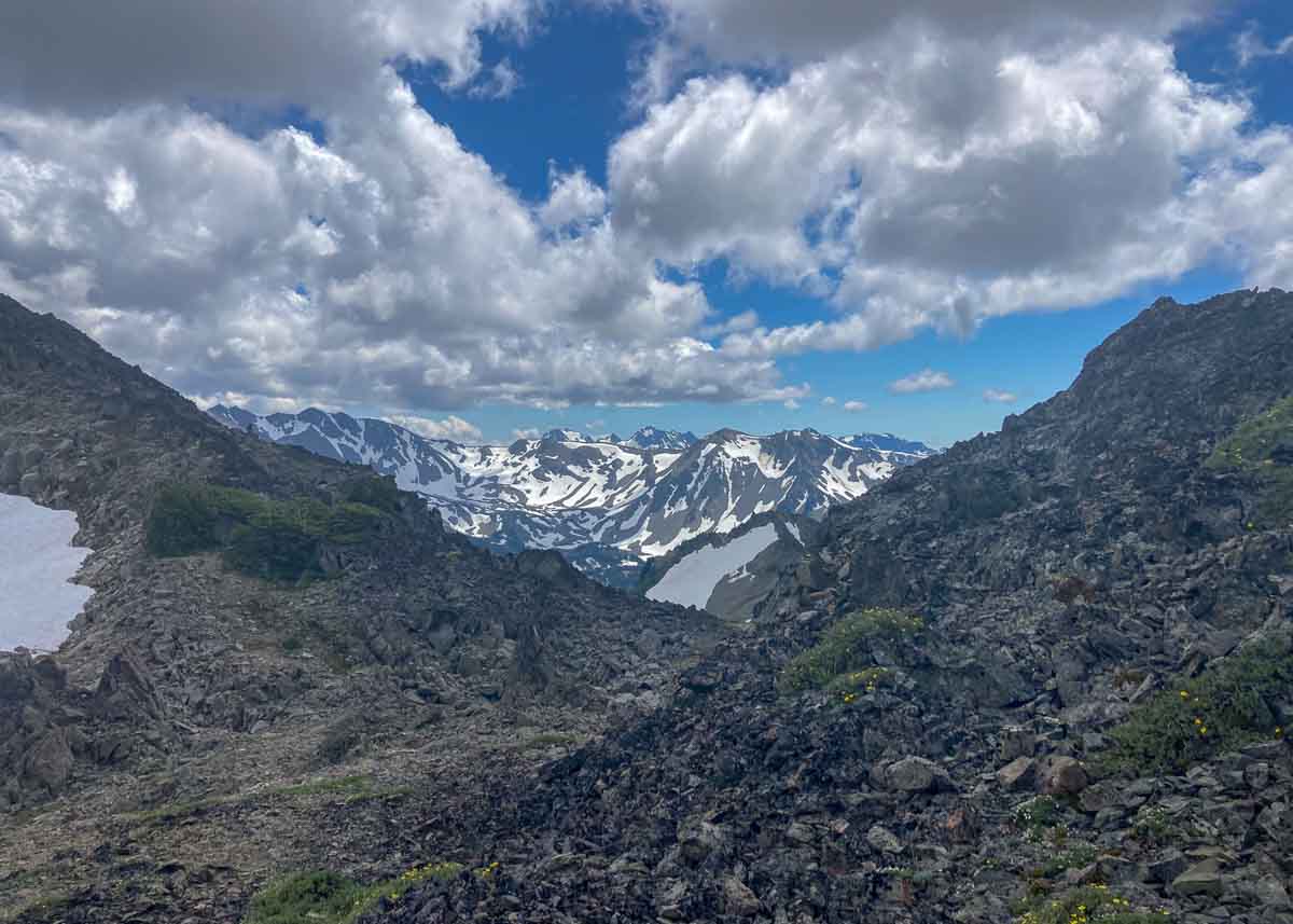
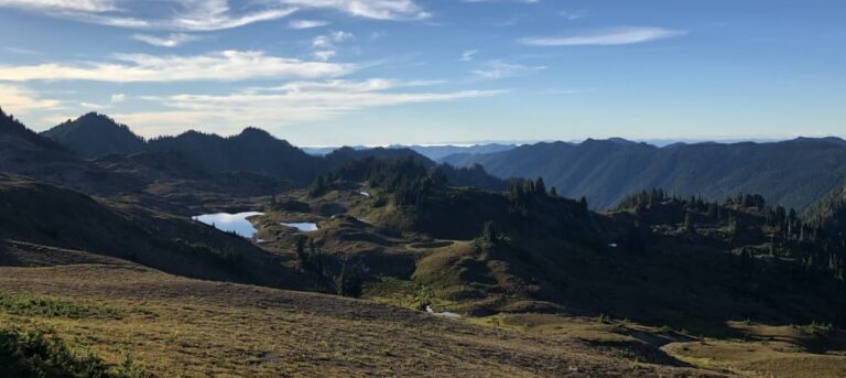
Today is our significant elevation gain day! We will be climbing out of the Cameron Creek drainage and up over the spectacular Grand Pass (6,420’)! The incomparable views are a well deserved reward, and you have the opportunity to climb even higher to summit Grand Pass Peak (6,700’) the tallest point of our trip and only a quarter mile off our main trail! We will meander past alpine lakes and pitch our tents at Moose Lake (5,072’) for the night.
Today’s Mileage/Elevation: 5.6 mi / +2994′, -1519′
Day 4
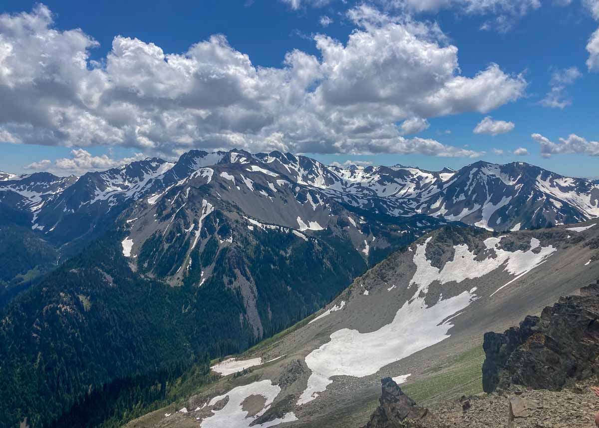
Today is our layover day at Moose Lake. Instead of packing up camp, we will do a day hike loop up to the ridge above the lake, traversing Moose Peak, getting some big views of the valleys to either side. This adventure is optional. Those who would prefer to relax at camp will be permitted to do so.
Today’s Mileage/Elevation: 5.8 mi / +2268′, -2268′
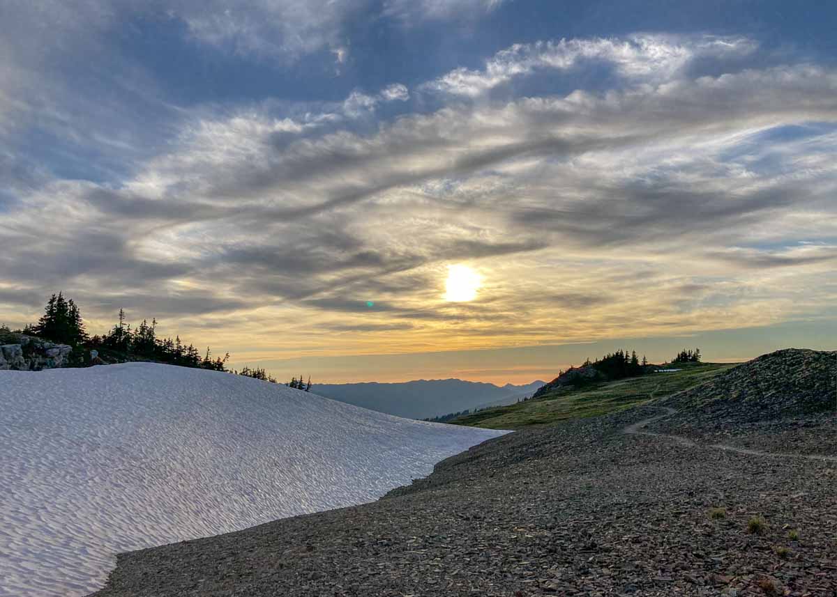
Day 5
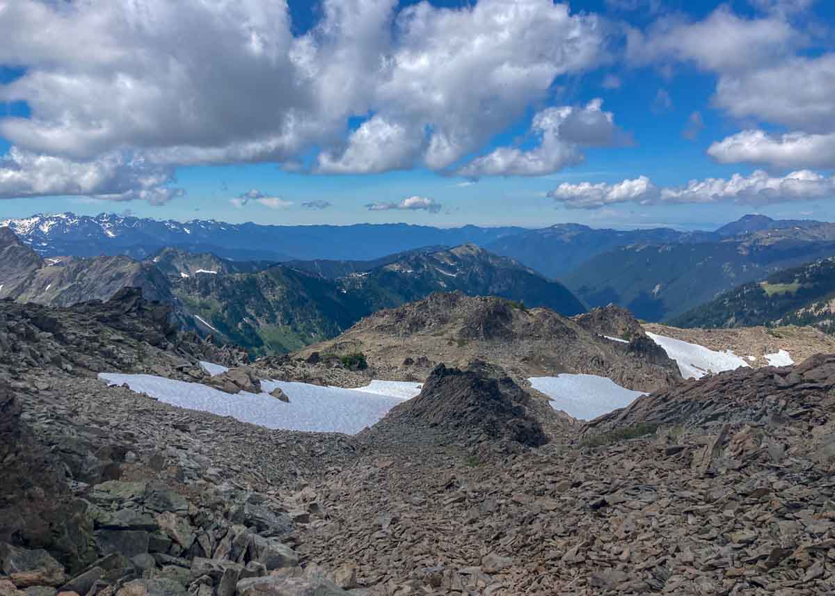
Today we will take the Grand Traverse trail to our next campsite at Roaring Winds (6,020’). Aptly named, this campsite is nestled high on the crest of the ridge between Obstruction Point and Deer Park. Views of the Puget Sound and the valley we hiked through, in days prior, open up and we will settle into camp for the night.
Today’s Mileage/Elevation: 6.3 mi / +2690′, -1733′
Day 6
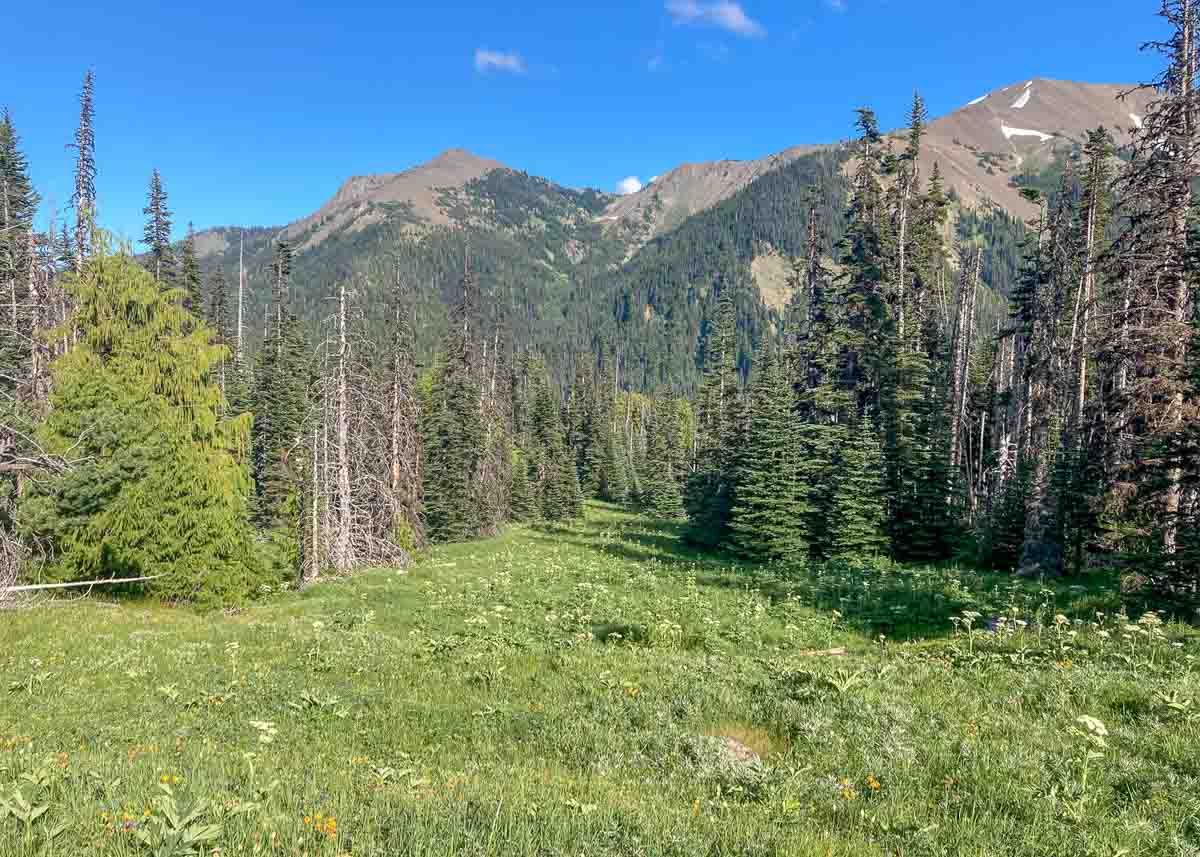
Our final hike takes us 4.6 miles back to Deer Park Trailhead and Campground (5,300′). We will hike below the summits of Maiden Peak and Green Mountain through alpine meadows and into dense subalpine forests before returning to where we started. Generally, our goal is to finish between 2-4 p.m., but this can be later due to the human or environmental factors.
Today’s Mileage/Elevation: 4.6 mi / +2690′, -1733′
Late Season (September): For any Hoh, Sol Duc/Seven Lakes Basin or Grand Valley backpacking trips in September, especially the second half of the month, please be aware that weather conditions can vary more widely. Sometimes we get a warm/dry September, sometimes the rain starts in September, and conditions are always exaggerated in the alpine; that’s the beauty of the Olympics! Be prepared for possible rain and cooler temperatures. If dangerous storms are in the forecast, we may have to alter the itinerary to avoid traveling in exposed terrain during storms.